Atlas to Accompany the Monograph on the Tertiary History of the Grand Canon District

Atlas to accompany the monograph on the Tertiary history of the Grand Canon district
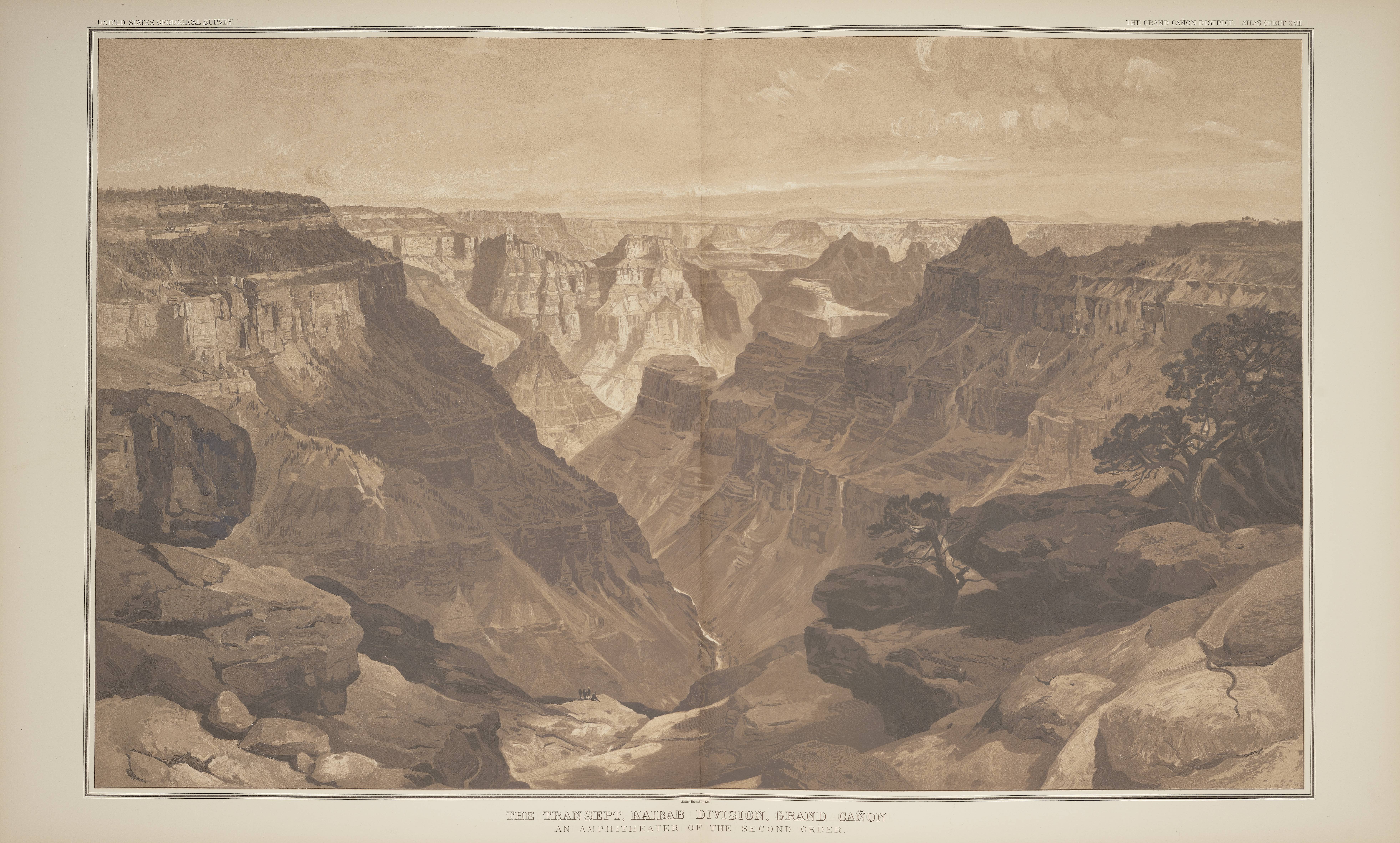
Led by Captain Clarence E. Dutton, the U.S. Geological Survey’s exploration of the Grand Canyon in the early 1880s resulted in a scientific text and this stunning over-sized folio atlas, considered the greatest book by any of the government surveys of the American West. The expedition included artist/archaeologist William Henry Holmes and the artist Thomas Moran. Three double-page, color-tinted lithographed plates by Holmes, when set together, form the magnificent “Panorama from Point Sublime.” In the bottom left corner Dutton is depicted leaning over Holmes as he sketches the view. Holmes (1846-1933) had previously been the artist/topographer on the Hayden expedition to Yellowstone and later came to the Smithsonian where he served as a curator of anthropology, the chief of the Bureau of American Ethnology, and ultimately the director of the collection now known as the Smithsonian American Art Museum.
This item has been digitized by the Smithsonian Libraries and is available in the Biodiversity Heritage Library.
Discover more about this book in our Catalog.
Adoption Type: Build and Access the Collection